Drones have become popular tools for surveying and mapping large areas due to their flexibility, speed, and cost-effectiveness. They can cover large areas quickly and gather high-quality data that can be used for various purposes such as land surveying, crop monitoring, and disaster management. In this article, we will discuss how to use drones for surveying and mapping large areas effectively.
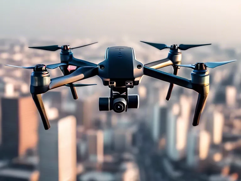
Firstly, it is important to choose the right type of drone for the job. There are various types of drones available in the market, each with different capabilities and specifications. For surveying and mapping large areas, it is generally recommended to use fixed-wing drones as they can cover larger distances and have longer flight times compared to multirotor drones.
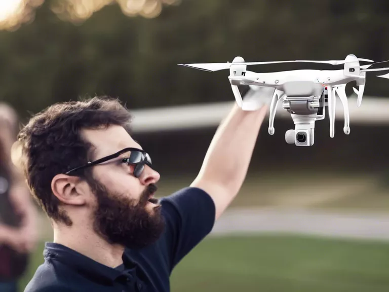
Secondly, it is crucial to plan the flight path and set up the mission parameters before flying the drone. This includes determining the area to be surveyed, the altitude at which the drone will fly, and the overlap between the images captured by the drone. By planning the flight path carefully, you can ensure that the drone covers the entire area efficiently and collects accurate data.
Next, it is important to ensure that the drone is equipped with the right sensors for surveying and mapping. This usually includes cameras, GPS receivers, and other sensors that can capture high-resolution images and georeference them accurately. These sensors are essential for creating accurate 3D models and maps of the surveyed area.
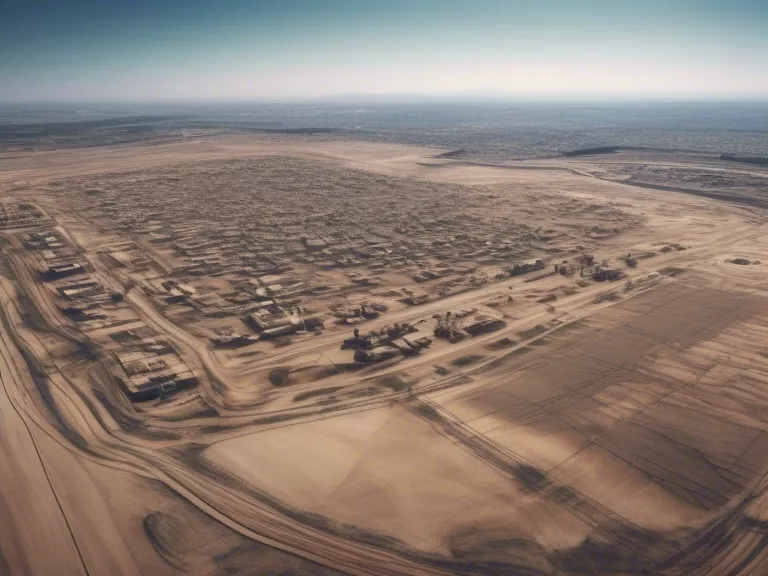
Once the drone has completed its flight and gathered all the necessary data, the next step is to process the data using specialized software. There are various software programs available that can process the drone images and create orthomosaics, digital elevation models, and 3D point clouds of the surveyed area. These outputs can be used for analyzing the terrain, identifying features, and making informed decisions based on the survey data.
In conclusion, drones can be powerful tools for surveying and mapping large areas efficiently and accurately. By choosing the right drone, planning the flight path carefully, equipping the drone with the right sensors, and processing the data effectively, you can generate high-quality survey data that can be used for a wide range of applications.